WATERFALLS
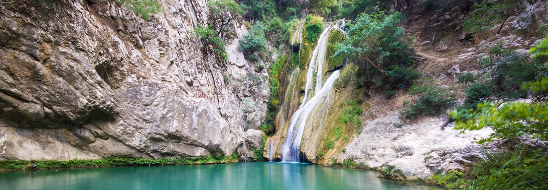
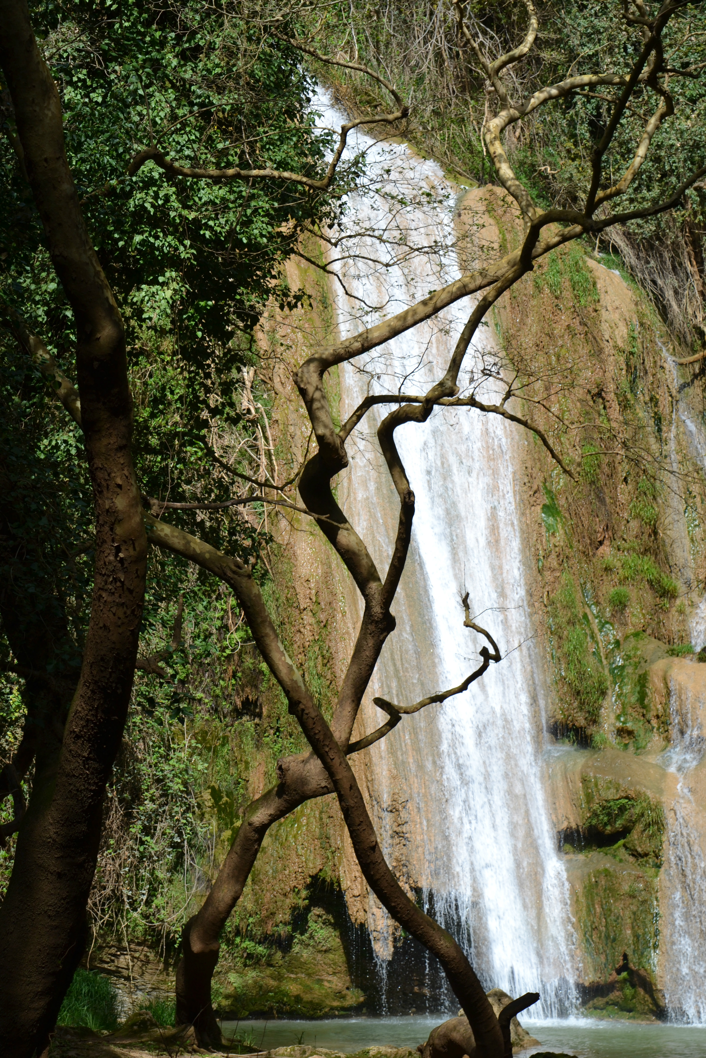
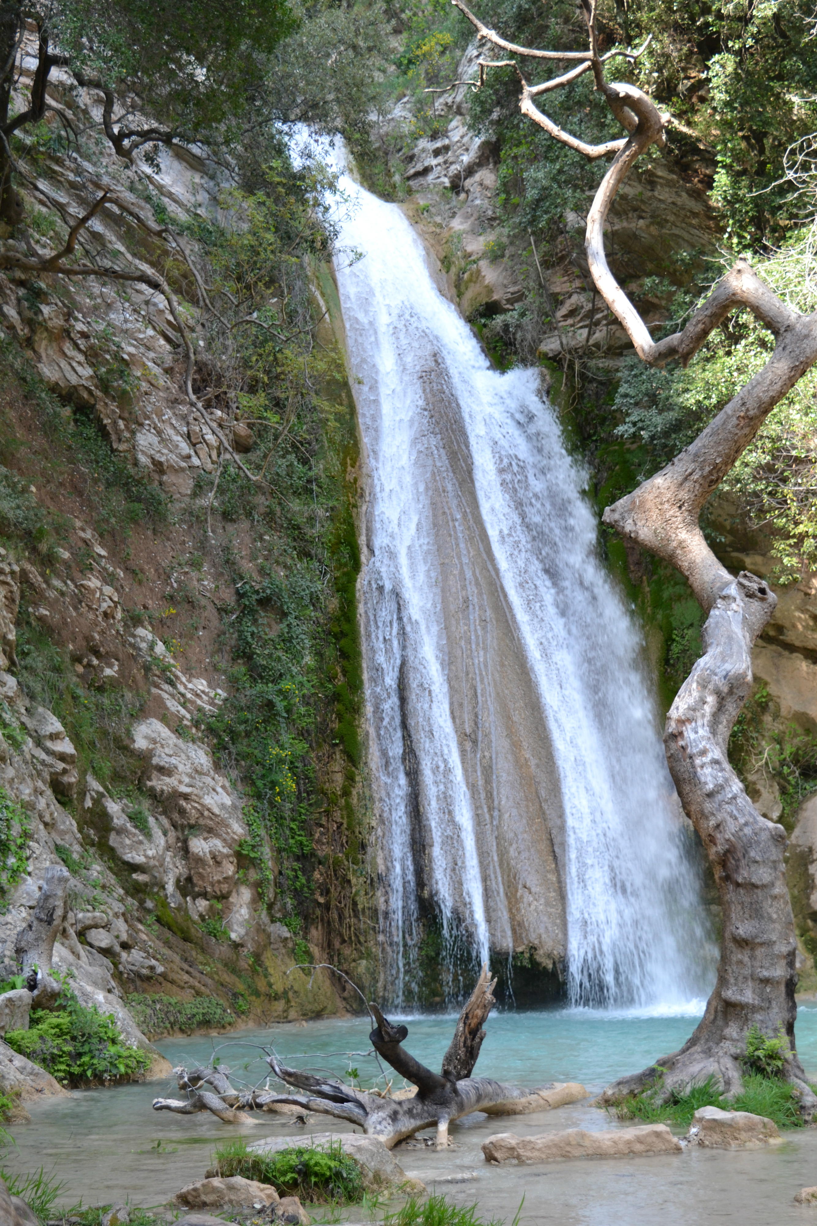
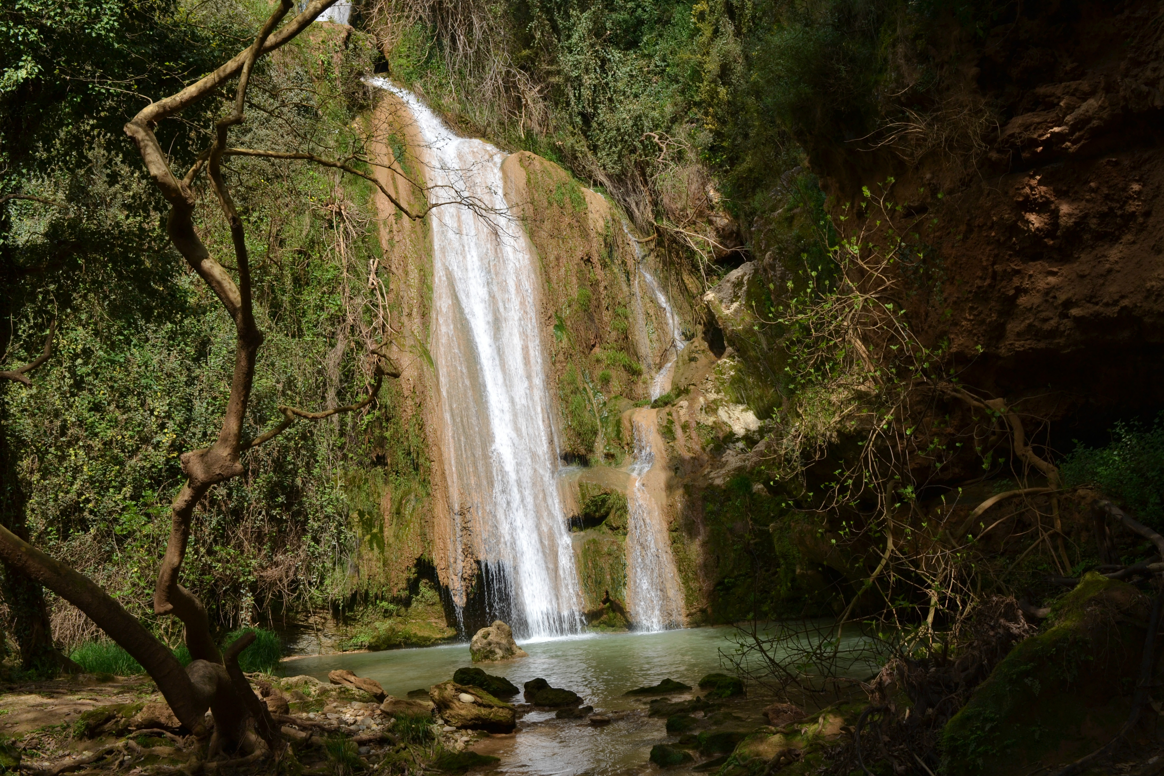
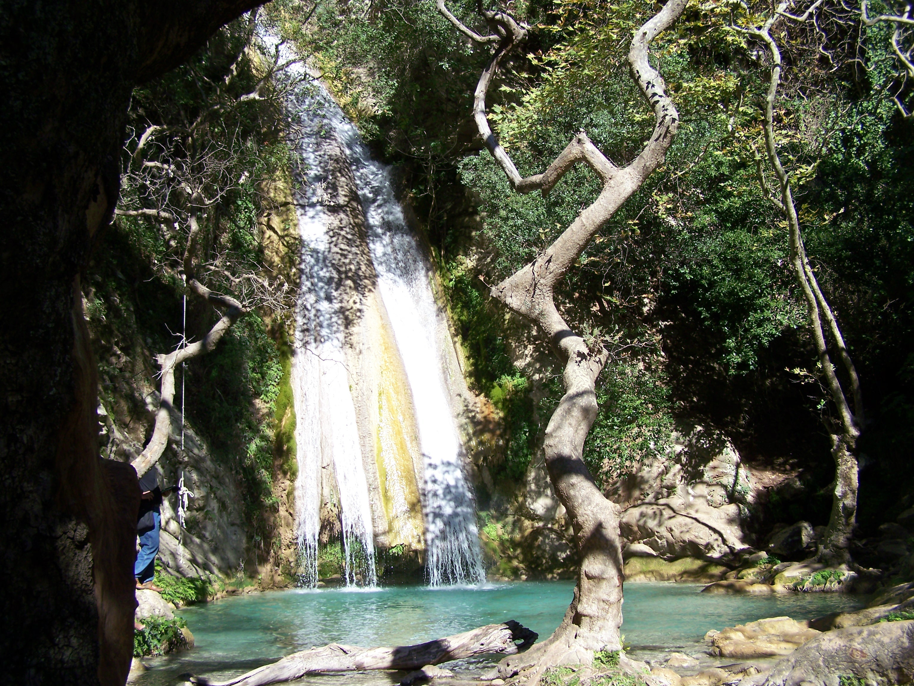
The above photograph is of Polylimnio Waterfall
PLEASE NOTE THAT ALL THE PHOTOGRAPHS ON THE SITE ARE CLICKABLE LINKS
The above photograph is of Polylimnio Waterfall
PLEASE NOTE THAT ALL THE PHOTOGRAPHS ON THE SITE ARE CLICKABLE LINKS
Very close to Gialova, you will see a sign on your left with directions leading to Schinolaka. You should follow this road until you reach a turn in the road to the right and you will see the sign leading to Kalamaris Waterfall.
A dirt road begins in this point. Towards the end of the track you will have to park your car and walk the pathway to the waterfall. The pathway is narrow and covered with wild vegetation!
After approximately 15 minutes of walking, you will reach a big clearing of plane trees.

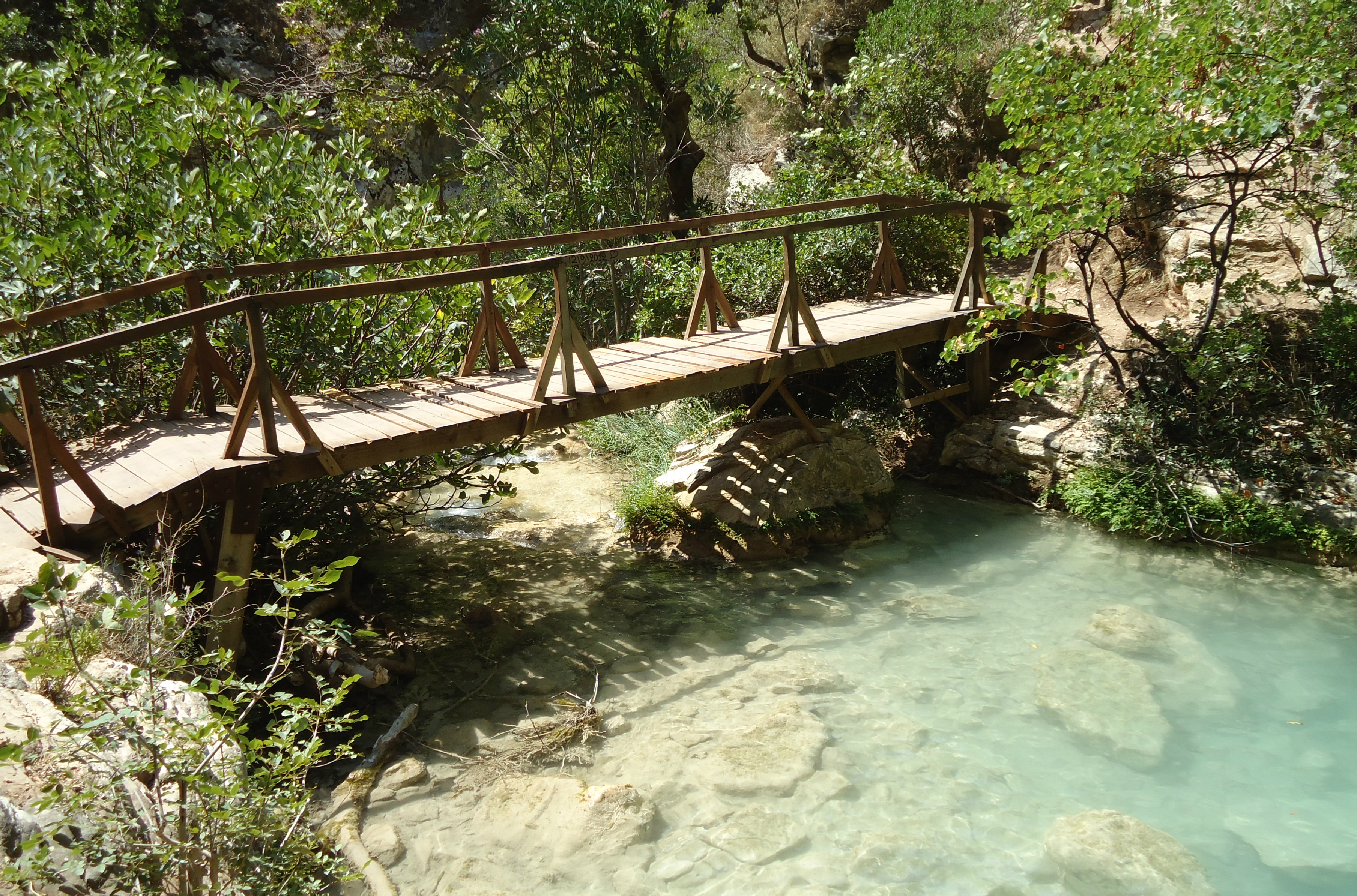
Cross the little bridge - or in our case the fallen trees across the river - and climb the manmade steps of the pathway which lead to the waterfall and the lake.
You will definitely enjoy the coolness amongst the trees which will make you forget the summer heat!
During the summer months, you will not find much water; probably just a few little streams running over the rocks and spilling into the lake.
I visited in late April and there was plenty of water, the walk to the falls is not easy and the falls are quite difficult to find but it was well worth the hike!
Unfortunately there is some water pollution in the river caused by the many Olive Oil presses in the area.
Hidden away in the foothills of Mount Terrazi is small village called Kato Melpeia in Northern Messinia. The village is 40km from Kalamata and 15km from Meligalas.
The village goes back 3,300 years as according to history the first houses were built in 1260 BC when Nestor was King of Pylos.
The houses were built in a place called Krebeni, above the Koube Springs. The Castle of Krebeni was built at the top of the mountain by the Franks in 1300 AD.

The area has waterfalls, lakes and canyons located not too far from the village. They were unreachable, but recently a club of the village has made these places accessible.
Go through Diaviolitsi and travel for about 5km. On entering the village you will pass the "Trout" taverna on your left then you will come to the "Stavropoulos" taverna
Next to the stone bridge you will see signs that say, Waterfalls 600m, Lakes 1km and Castle 2km.
I drove up the lane and came to a track where there were more signs. I left the car and made my way up the track.
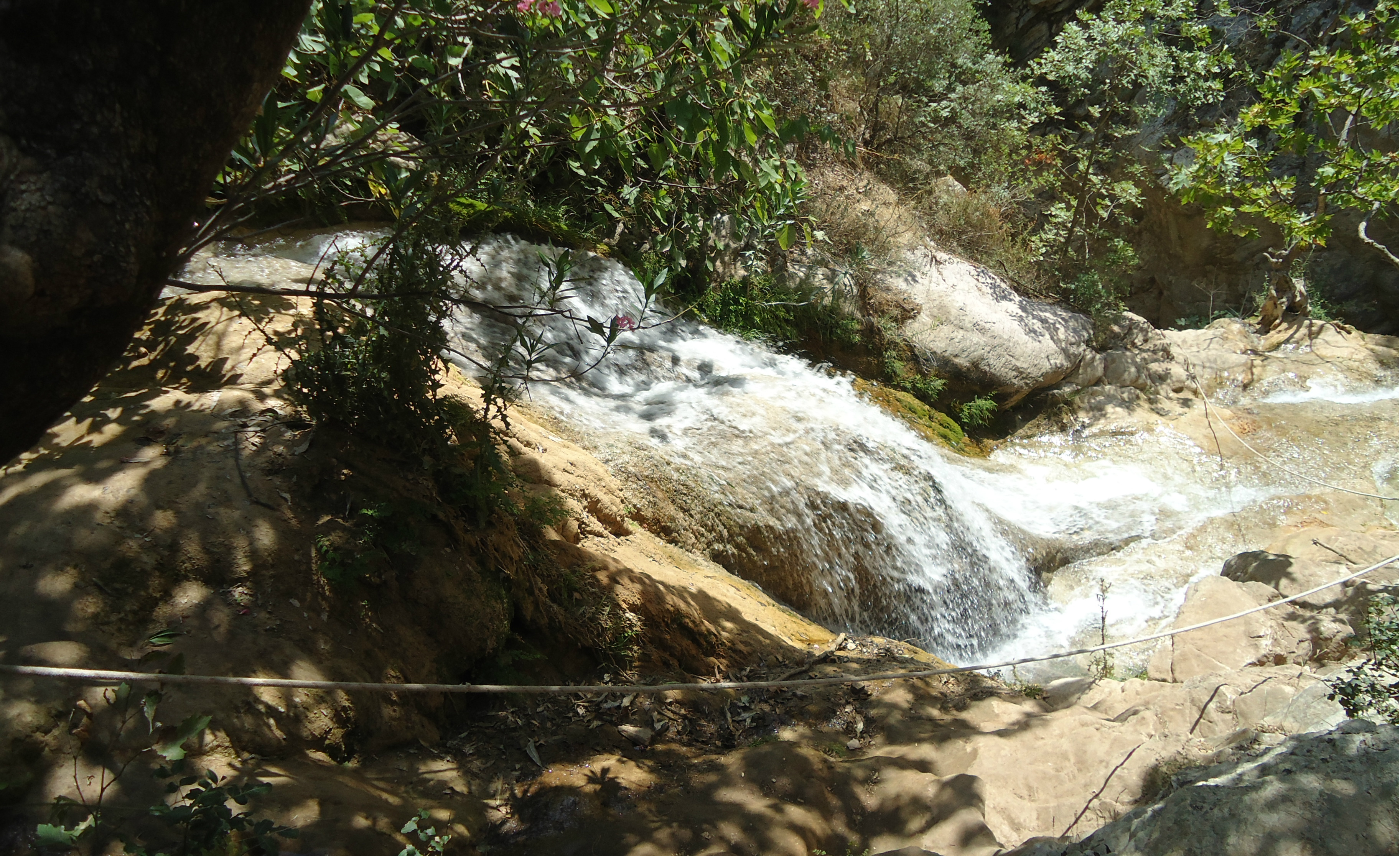
I first reached the sign for the waterfalls and climbed down a track to reach them. They are small but very picturesque however some of the barriers are beginning to fall apart and some places are not very safe.
It was quite difficult to reach the second waterfall as I am not very tall and you really need to have someone with you. It would be a good idea to take with you shoes that you can enter the water with!! Leaving the waterfalls I went back onto the track and carried on to the lakes.
Finding a sign for the lakes I had another trek down through the trees but it was well worth the effort. The lakes, the waterfall and the trees are so beautiful and tranquil.
I then went back to the track and carried on climbing up! I found the sign for the castle and began walking along the track, quite difficult and narrow in places.
After walking for a kilometer or so I found that the track had been washed away by the rains over the winter and I could not go any further.
I need to speak to someone from the village to see if the walkway has been repaired before I try again!!
The Neda is a river in the western Peloponnese and is almost unique in the sense that there are only 2 or 3 river in Greece with a feminine name.
The river begins on the southern slope of Mount Lykaion, near the village of Neda in northern Messenia. It flows to the west through a varied landscape of barren rock and forests.
The river travels a distance of 32km through magical surroundings and finally flows into the Ionian Sea near the village of Giannitsochori.
The world of the valley of the Neda River was a mythical site for ancient Greeks.
According to Greek mythology the river took its name from one of the Nymphs, daughters of Zeus Aegiochos, god of the storm.
Nymphs were considered to be very beautiful young women of divine origin, who were not immortal but they were lived for many years near springs and rivers, eating ambrosia.
After Rea gave birth to Zeus at the Lykaion Mountain, she entrusted her son's growing up to the Nymphs of Neda, Thesoa and Agno.
Legend says that the area of Arcadia was without water at that times and Rea couldn't find any, so she hit the ground with a stick and immediately a river was created, named Neda from the Nymph's name.
The river is only accessible during the summer months because after a lot of rain the water can become a torrent.
The most direct and easy access to the Neda waterfalls is from the village of Platania, where a dirt road leads to the stone bridge. The path is then signposted up a track to the falls, probably about 2km long.
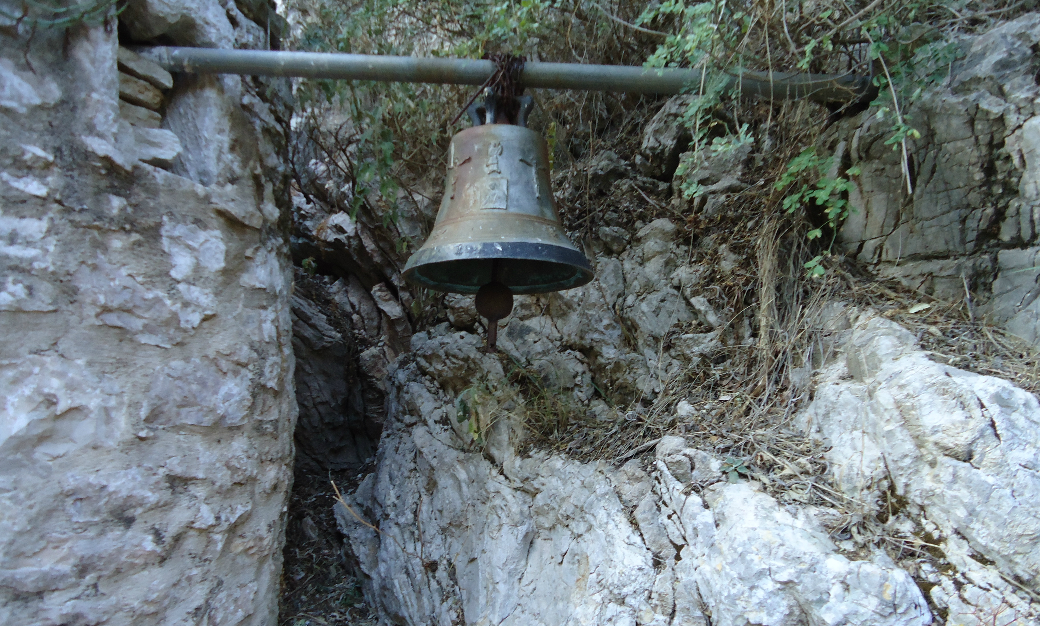
On the rocks that overhang the gorge is little church of Panagitsa and the cave of a hermit. It is said that the icon on display in the church was found in a niche above where the church was built.
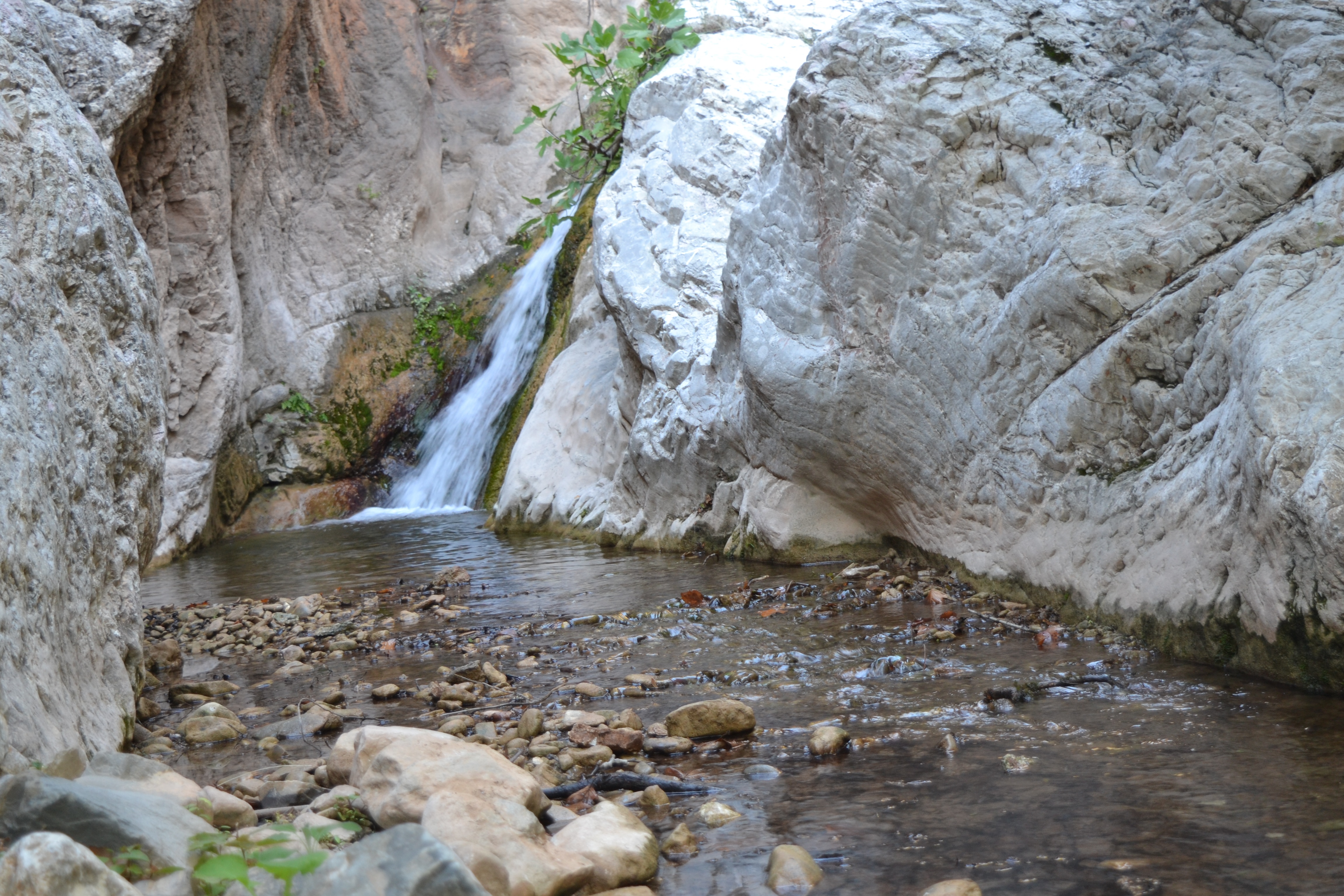
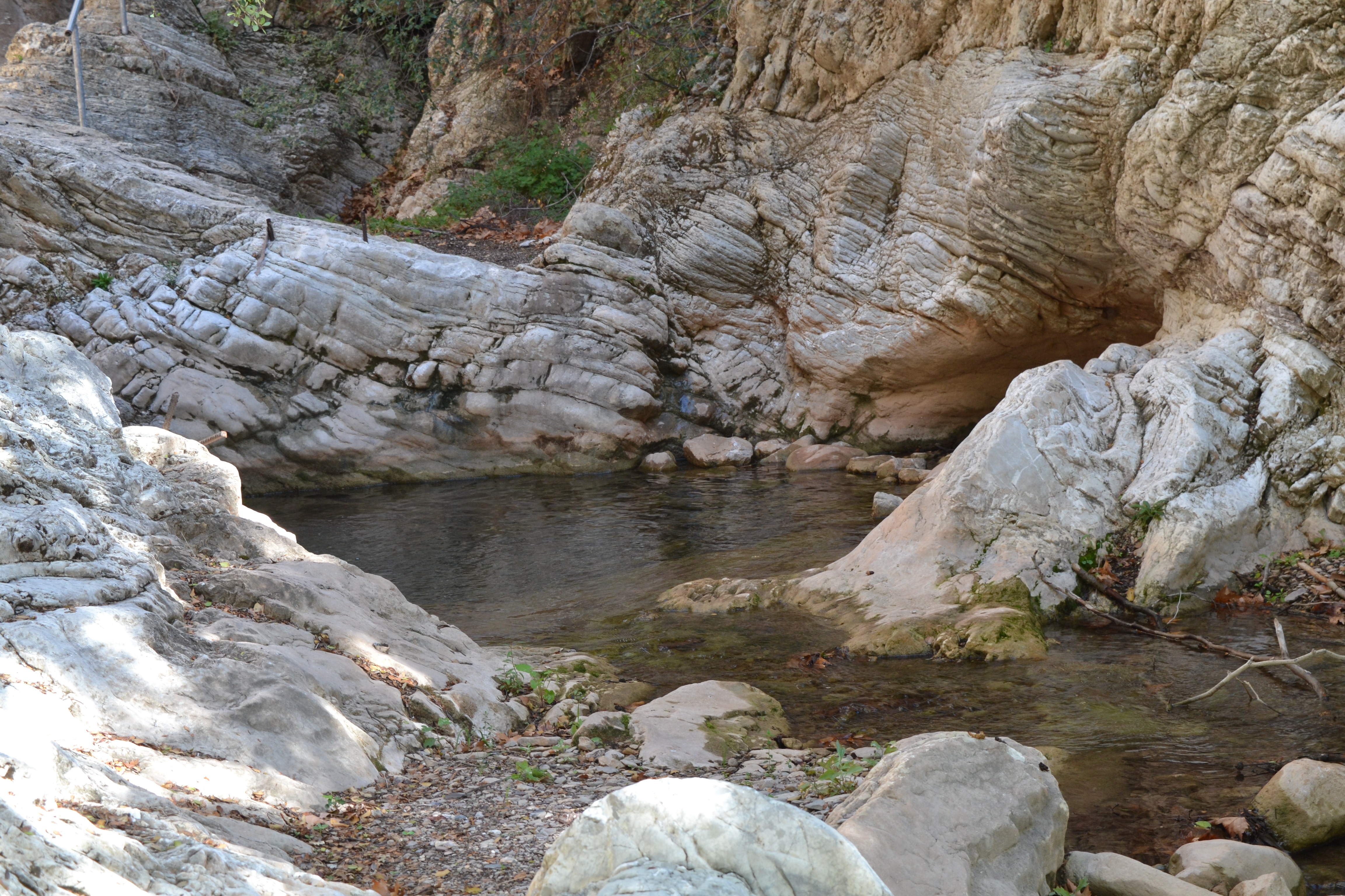
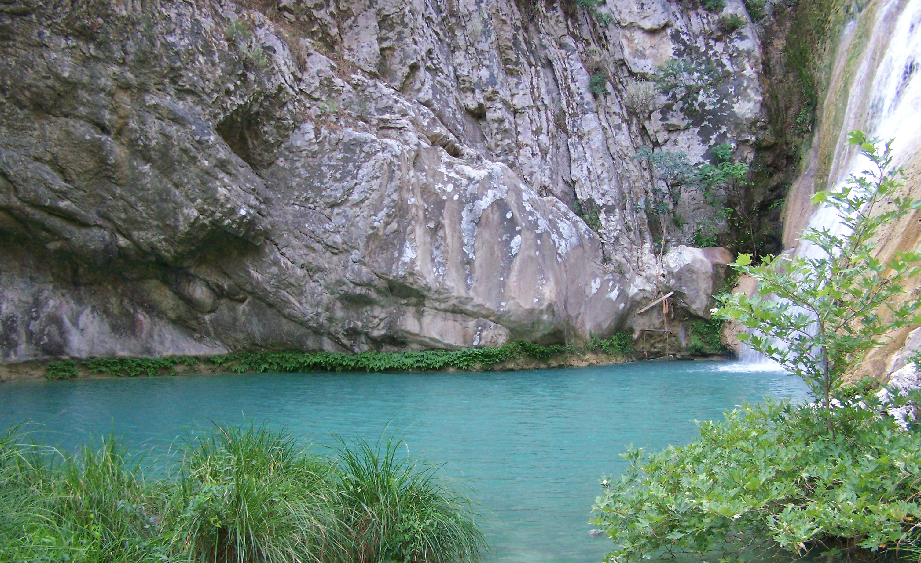
Walking along the river, or even a small part of it, promises views of spectacular waterfalls, sunless gorges and deep pools of blue water. The middle stretch of the river is lost for awhile in a natural tunnel where hundreds of bats live.
Along the way at former crossing points little stone bridges have survived and a few mills that made use of the power of the water.
There are oak trees, wild fig trees, thick reeds and poplars that grow in the region and there are many large blue dragonflies in the trees and around the water.
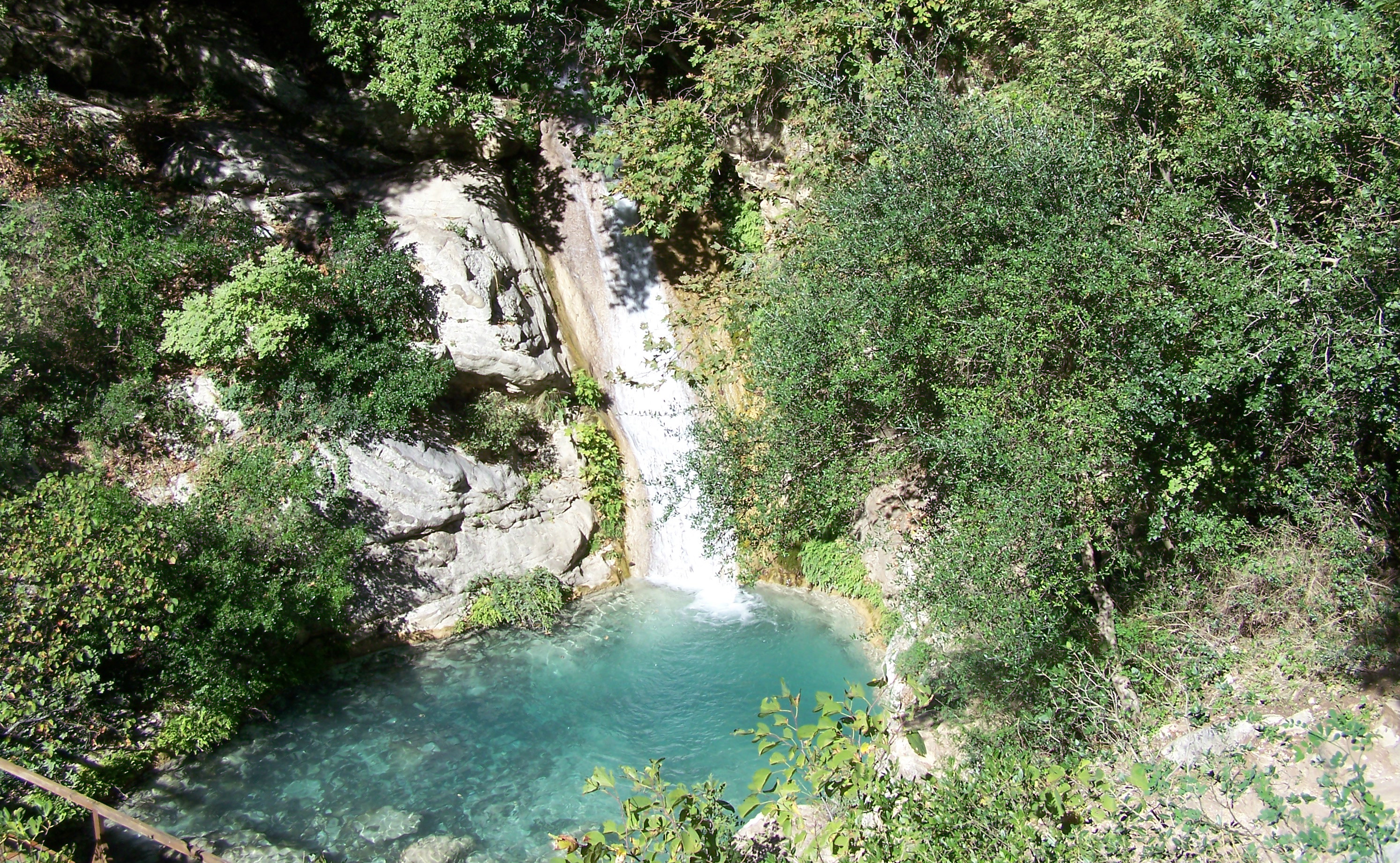
The famous waterfall of Figalia with a height of 50m is at the end of the impressive gorge.
You definitely need good walking shoes to reach the main waterfall. In summer take your swimming costume as a swim in the icy cold water to under the falls is amazing!

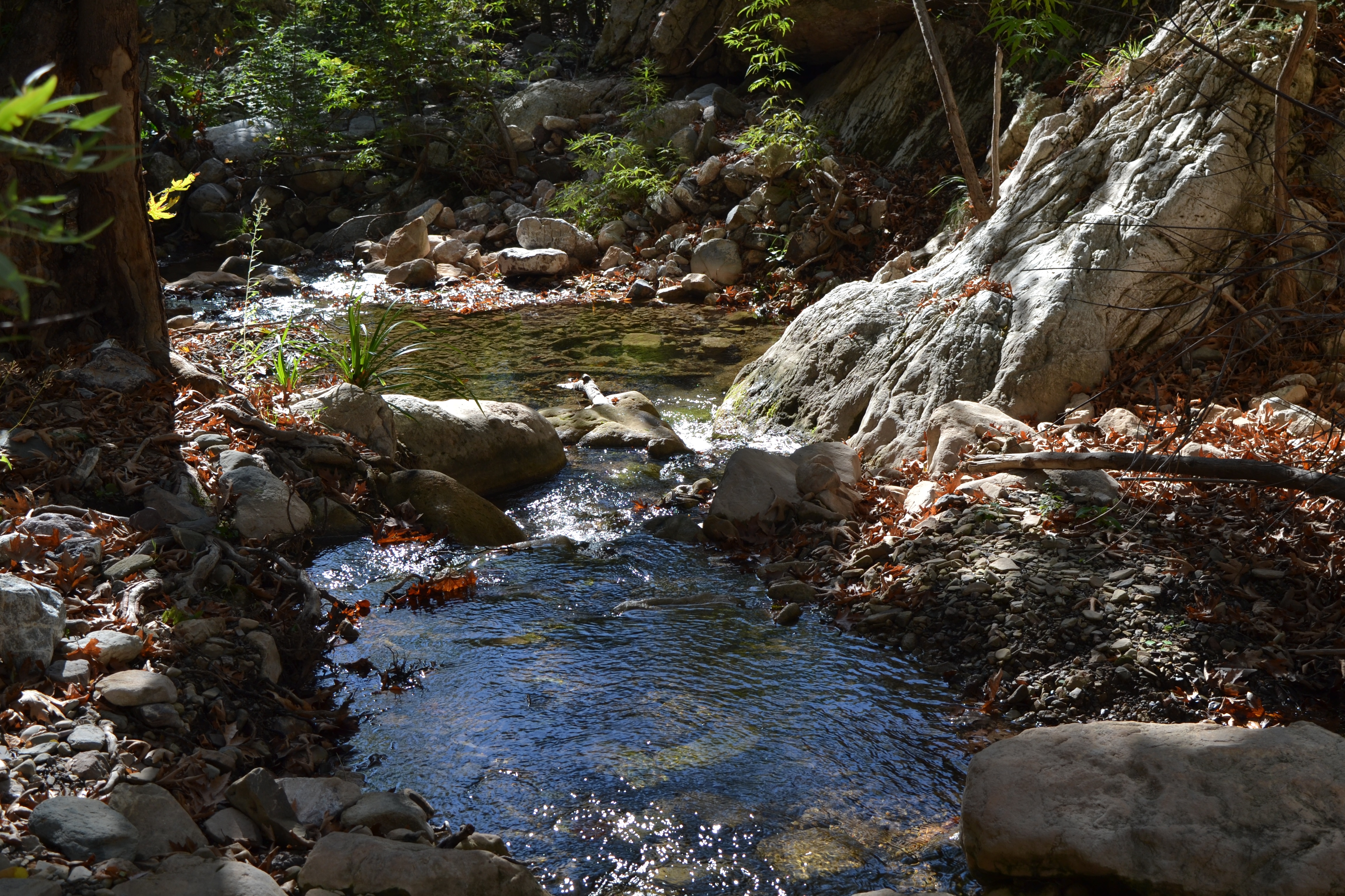
To reach the Polylimnio Gorge in the Messenia region of the Peloponnese about 30 kilometers from Kalamata, follow the Pylos road from Messini. Near Kazarma there is the village called Charavgi, where on the main road there is a sign leading to Polylimnio.
To reach the gorge, drive down the track until you reach the car park. Then walk down the steep hill until you come to Polylimnio, (you can hear the water even before your get there!)
Follow a small path for 5 minutes and pass through dense vegetation and picturesque wooden bridges and you will find yourselves in a secret paradise.
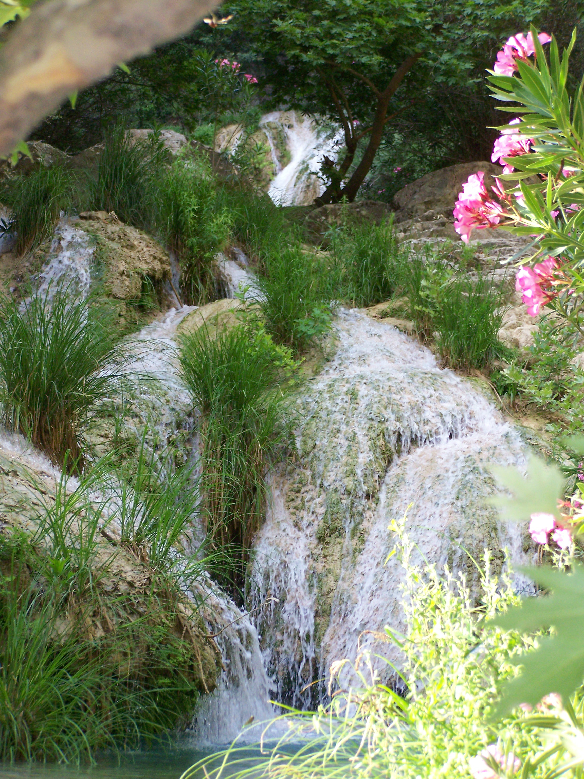
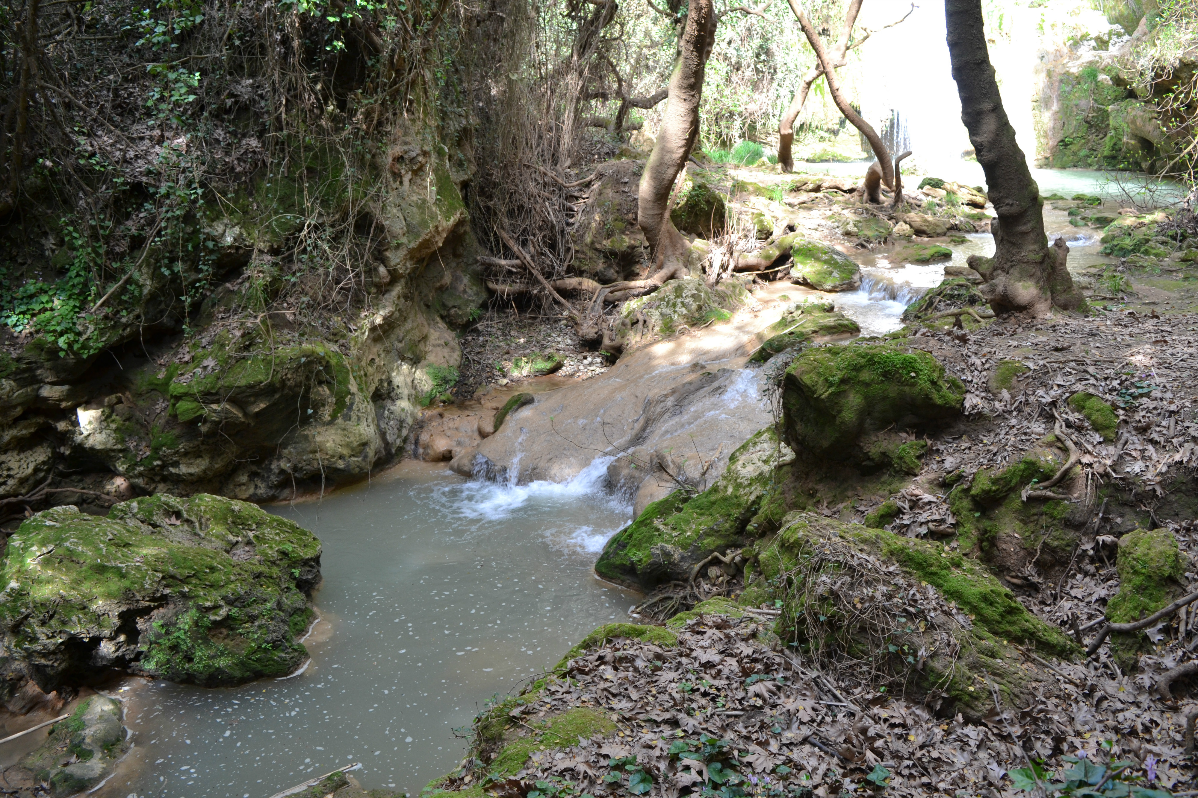
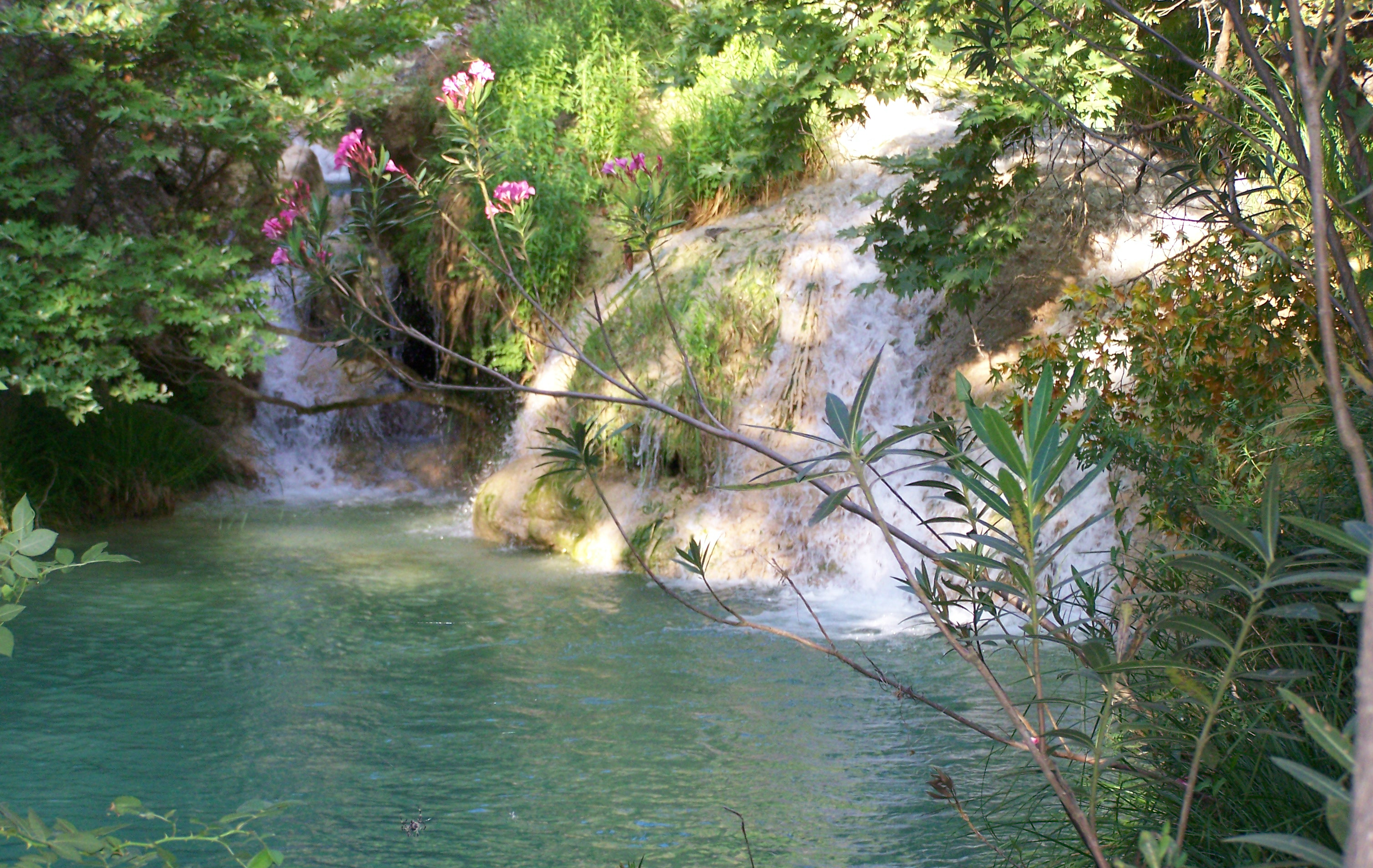
Polylimnio in Greek means 'many lakes' and that is what there are. Here you will discover 15 fresh-water lakes and beautiful waterfalls.
The path you walk is not easy as there are many rocks to clamber up but there are metal foot and hand hold in places which are very difficult.
The lakes have different names such as Mavrolimna (Black Lake), Kadi, Kadoula (heart-shaped), Tycheros (Lucky), Italian (because an Italian is meant to have drowned in it), Panagos and Stathoula.
Polylimnio was well hidden for many years and it is only recently that it has become known to the public and made accessible.
The gorge is 3 kilometers long so is a medium hike, there is a small picnic area but no facilities, so you need to take provisions with you, but don't carry too much.
However, the last time I visited in 2017 there was some building work going on near the car park which may be a taverna or cafenion!!

In the summer there are many who like the cool water of the lakes to swim in, especially lake Kadoula.
The waterfall offers a unique experience to whoever reaches it, while the bravest ones climb and dive from the surrounding rocks into the lake's deep water.
The waters of the Gorge of Polylimnio come from Mesopotamos, and after going under the bridge of Tzanes, they flow into the Messinian Bay at Petalidi.
To visit any of these waterfalls you need good footwear, a swimsuit (if you want a dip), provisions and definitely a camera! Both sites can be very busy, especially in August.

Polylimnio is best visited in the early morning, we arrived at 7am and had the whole place to ourselves. Walking down we saw some amazing spiders and their webs amongst the trees at the side of the path.
I was very sad to hear of the death of a young woman and injuries to others at Polylimnio in August 2016. Apparently the place was very crowded and it began raining which caused rocks and trees to fall. Care should then be taken at all times and don't go if it is raining!!
In March of 2017 I went to visit Polylimnio to find that the lower bridge had washed away so access to the waterfalls was not possible. If this happens it would be sensible to place a notice in the Car Park to say that this was the case.